Cloud formation and description
Clouds form when air rises and cools adiabatically until it reaches its dew point (condensation level), at which point water vapor condenses into visible water droplets or ice crystals.
Cloud Classification (WMO)

The World Meteorological Organization classifies clouds into three levels or "etages" according to the height of their base.
| Level | Base Height | Prefix | Main Composition | Types |
|---|---|---|---|---|
| High Clouds | 16,500 - 45,000 ft | Cirro- | Ice Crystals | Cirrus (Ci), Cirrocumulus (Cc), Cirrostratus (Cs) |
| Medium Clouds | 6,500 - 23,000 ft | Alto- | Water Droplets / Crystals | Altocumulus (Ac), Altostratus (As), Nimbostratus (Ns)* |
| Low Clouds | 0 - 6,500 ft | - | Water Droplets | Stratus (St), Stratocumulus (Sc), Cumulus (Cu), Cumulonimbus (Cb), Nimbostratus (Ns)* |
Note: Nimbostratus (Ns), Cumulus (Cu), and Cumulonimbus (Cb) have great vertical development and can extend through multiple levels.
Cloud Types and Characteristics
High Clouds
Composed almost entirely of ice crystals. Generally do not produce significant icing or turbulence.

- Cirrus (Ci): Thin clouds, looking like "hair" or strands, silky. Indicate fair weather or the approach of a warm front aloft.

- Cirrocumulus (Cc): Small rounded patches or "mackerel sky". The only high clouds with cumuliform characteristics.

- Cirrostratus (Cs): Transparent whitish veil that can produce halos around the sun or moon.
Medium Clouds

Altocumulus (Ac): Patches or layers of rounded masses.
- Ac Castellanus: Look like castle turrets. Indicate instability at medium levels and are precursors to thunderstorms.
- Ac Lenticularis: Lens-shaped clouds. Indicate the presence of mountain waves and severe turbulence, even if they appear static and smooth.


- Altostratus (As): Grey or bluish sheet covering the sky. Can give a "ground glass" effect to the sun. Light to moderate icing.
Low Clouds

- Stratus (St): Uniform grey layer. Can produce drizzle. Dissipates by solar heating.

- Stratocumulus (Sc): Patches or layers of low clouds, grey or whitish. Rarely produce precipitation.
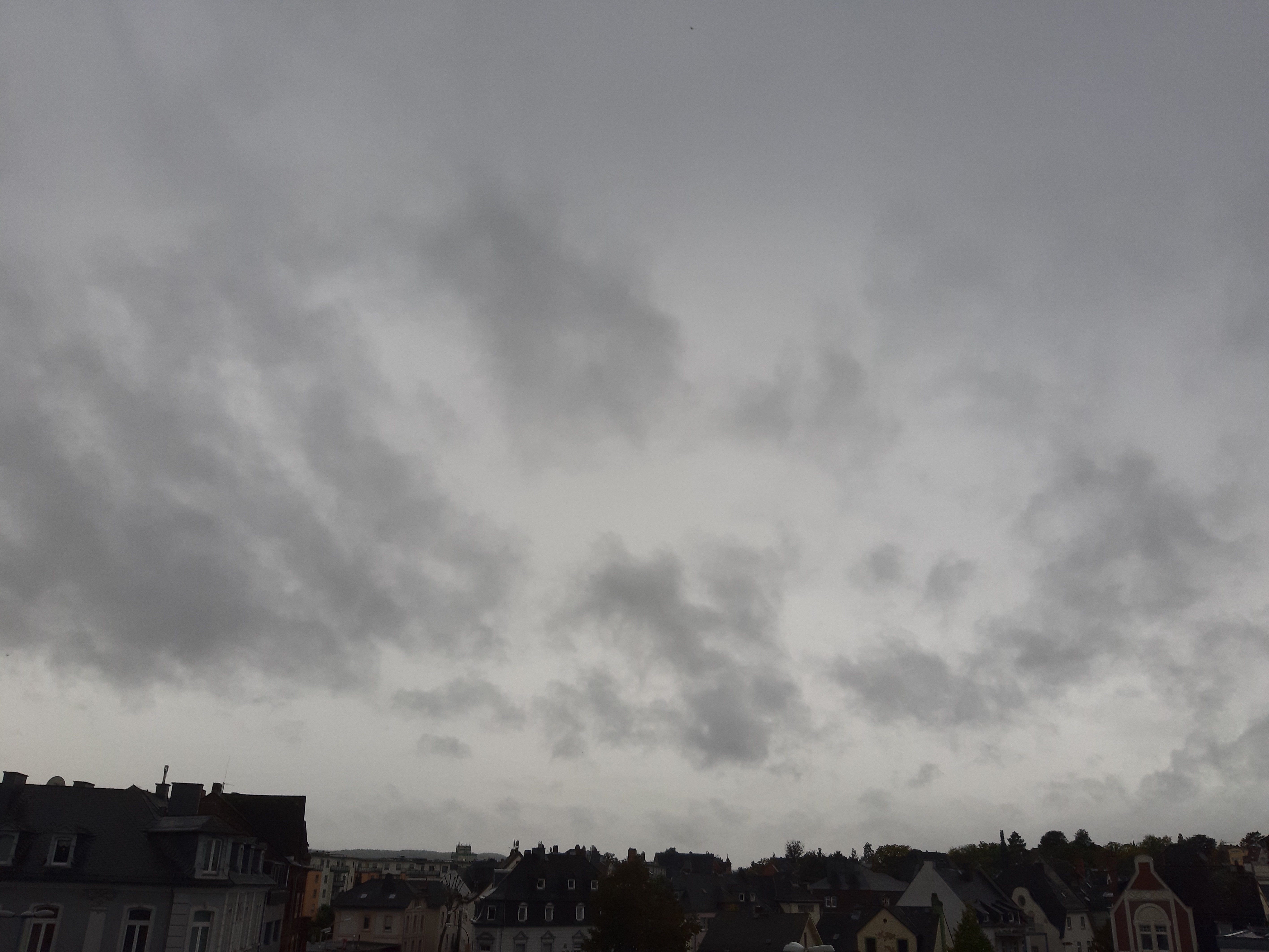
- Nimbostratus (Ns): Dense, dark grey layer. Continuous rain or snow cloud. Can completely hide the sun. Risk of icing and freezing rain.
Clouds of Vertical Development

- Cumulus (Cu): Detached, dense clouds with sharp outlines (cauliflower shape). Dark, flat base.
- Cu Humilis: Fair weather, wider than they are tall.
- Cu Mediocris: Moderate vertical development.
- Cu Congestus (TCU): Great vertical development (Towering Cumulus). Showers, turbulence, and icing.
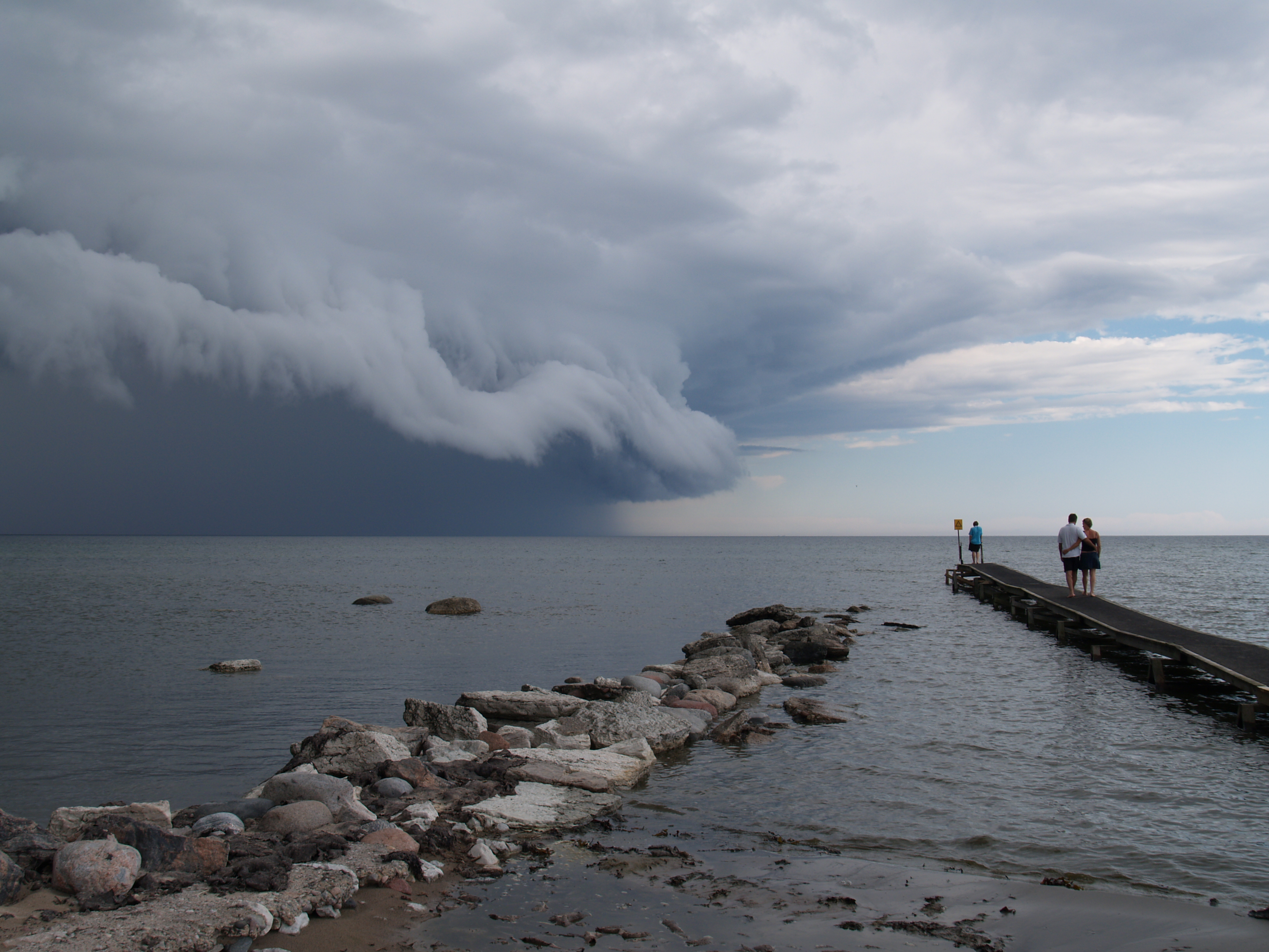
- Cumulonimbus (Cb): The thunderstorm cloud. Huge tower that can reach the tropopause and form an anvil (incus).
- Cb Calvus: Rounded top, not yet fibrous.
- Cb Capillatus: Fibrous top (cirriform) or with anvil.
- Hazards: Severe turbulence, severe icing, hail, lightning, windshear.
Formation Processes
- Convection: Heating of the earth's surface warms the adjacent air, causing it to rise (instability). Forms cumuliform clouds.
- Orographic Lift: Air is forced to rise by a mountain. Forms lenticular clouds and stratus on the windward side.
- Convergence: In low-pressure systems, air converges at the surface and rises.
- Turbulence/Mixing: Wind mixes a layer of moist air near the surface, forming Stratus or Stratocumulus.
- Frontal Lift: Warm air rising over cold air (fronts).
Stability vs Instability
The type of cloud depends on the stability of the air mass:
- Stable Air: Tends to resist vertical movement. Forms Stratiform clouds (layers, large horizontal extent, little vertical development). Continuous precipitation (if any).
- Unstable Air: Favors vertical movement. Forms Cumuliform clouds (vertical development, updrafts/downdrafts). Showers.
Inversions: A temperature inversion (temperature increase with height) acts as a "lid", stopping the vertical development of clouds and trapping cloud layers (like Stratus) or fog below it.
Practical Calculations
Cloud Base (Cumulus): A general rule for estimating the height of the cumulus base is: $ \text{Base (ft)} = (\text{Temperature} - \text{Dew Point}) \times 400 $
- Larger difference (spread) between T and Td $\rightarrow$ Higher base.
- High Relative Humidity (T and Td close) $\rightarrow$ Lower base.
Cloud Tops: Vertical growth stops when the temperature of the rising air parcel (cooling at the SALR inside the cloud) equals the temperature of the surrounding air (ELR).
Cloud Dissipation
Clouds dissipate mainly by:
- Heating: Increases the air's capacity to hold water vapor (evaporation of droplets).
- Subsidence: Sinking air that compresses and warms adiabatically.
- Mixing: With drier air from the surroundings.